
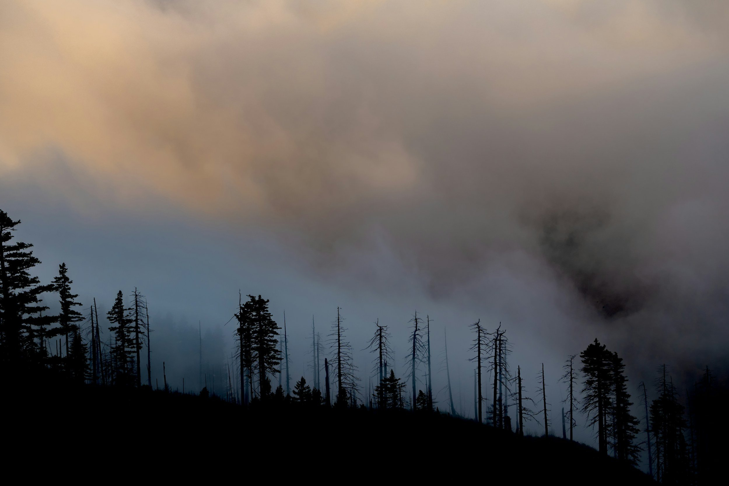
The Akawa Butte Fire is Testing Rural Emergency Capacity in Central Oregon
The Akawa Butte Fire near Sisters is testing Central Oregon’s capacity to evacuate residents and livestock while protecting tourism, agriculture and rural commerce.
The wildfire north of Sisters is not only a public-safety emergency. It is exposing how quickly fire can disrupt agriculture, tourism, transportation and animal welfare—and how much rural communities are expected to coordinate with limited infrastructure.
On July 26, firefighters working north of Sisters, Oregon, were approaching an important operational milestone: control lines were expected to be in place around the entire Akawa Butte Fire.
“This does not mean the fire is fully contained,” the incident management team warned.
Crews still needed to extinguish hot spots and mop up 200 to 300 feet inside the perimeter before those lines could be counted as contained. Meanwhile, a localized Red Flag Warning remained in effect from 11 a.m. to 9 p.m. as hot, dry, and windy weather threatened to test the work firefighters had completed. The fire had burned approximately 27,222 acres and was listed at 5 percent containment. Level 1, Level 2, and Level 3 evacuation zones remained active across portions of Deschutes and Jefferson counties.
The scale of the response reflected the threat: 1,567 personnel, 48 crews, 18 helicopters, 87 engines, 30 water tenders, and 19 bulldozers had been assigned to the incident. Central Oregon Fire Information
Those numbers describe a major firefighting operation, but they don’t fully describe what a fire of this scale asks of a rural community.
Why Akawa Butte became the nation’s highest-priority fire
The Akawa Butte Fire began with lightning on July 16. Within days, it had exhibited extreme behavior, including flames estimated at 200 feet high and a pyrocumulus cloud capable of producing its own lightning.
The fire’s designation as the nation’s highest priority was based not simply on acreage, but on its proximity to people and property. The designation allowed incident commanders to compete more successfully for firefighters, aircraft, and equipment arriving from other states and countries.
Oregon Gov. Tina Kotek described the statewide response as “all-hands-on-deck,” noting that Akawa Butte was only one of dozens of fires placing pressure on Oregon’s firefighting system.
Sisters Mayor Jennifer Letz told the Associated Press that approximately half of the town had been instructed to prepare to leave during the fire’s most dangerous period.
“If we can get through this weekend, we will probably be in a good position moving forward,” Letz said. “But right now, we do have the north half of the city under orders to be prepared, to have a plan, to get their things together.” Associated Press
The danger was immediate. But the emergency also revealed a broader problem: rural communities must execute increasingly complicated evacuations using transportation, shelter, and staffing systems that were not necessarily designed for emergencies of this scale.
The emergency-management perspective: resources must follow risk
From the perspective of incident commanders and public agencies, the immediate objective was straightforward: hold the fire inside established control lines while protecting residents and structures.
The July 26 update reported that firefighters had extinguished new spot fires through the previous night’s high winds. Crews were strengthening lines, preparing backup routes, and using helicopters to support firefighters on the ground.
At the same time, some Oregon State Fire Marshal structure-protection resources were being reassigned from Akawa Butte to the nearby Bench Fire. Officials said the shift could be made without sacrificing the structural protection still required near Sisters.
That reallocation illustrates how wildfire capacity works during a regional outbreak. A fire does not receive a permanently fixed collection of equipment simply because those resources were assigned the previous day. Engines, crews, and aircraft are constantly evaluated against changing fire behavior, threats to communities, and needs elsewhere.
For residents, this can create an uncomfortable gap between visible progress and continued danger. A line around a fire is not the same as containment. Better weather is not the same as control. Fewer engines at one incident do not necessarily mean abandonment—but they do demonstrate that the response system has limits. With more than 30 large fires burning statewide, Akawa Butte was competing within a regional emergency rather than operating as an isolated incident. Oregon Public Broadcasting
The livestock perspective: evacuation requires more than an alert
Human evacuation orders generally assume that residents can gather essential belongings, enter a vehicle, and follow an available route out. That model becomes more complicated when a household is also responsible for horses, cattle, sheep, or other livestock.
A horse owner needs a trailer, a capable tow vehicle, fuel, loading time, and a confirmed destination. A family with multiple horses may require more than one trip. Animals that are frightened, injured, or rarely hauled may not load quickly. Cattle on pasture or range present a different challenge. They may first need to be gathered from a large area, sorted, and loaded into commercial trailers. Gates, fences, and access roads may be inside the threatened zone. Smoke and emergency traffic can make movement more difficult.
Waiting for a Level 3 “Go Now” order may therefore be too late to begin moving a large group of animals safely.
Yet evacuating at Level 1 or Level 2 carries costs of its own. Owners must locate space, transport feed and water, monitor animals in unfamiliar facilities, and potentially move them again if the fire changes direction. Premature evacuation can also put additional trailers onto roads needed by residents and emergency equipment.
This is not a disagreement over whether animal owners should prepare. It is a logistical problem created by the difference between passenger evacuation and livestock evacuation.
Rural emergency planning must answer questions that a standard evacuation map cannot:
How many large animals may need transportation?
How many trailers and qualified drivers are available?
Which routes can accommodate stock trailers alongside emergency equipment?
Which facilities can safely separate horses, cattle, and smaller livestock?
Who provides feed, water, bedding, and veterinary care?
How will owners learn when a facility has reached capacity?
What happens if a shelter facility is later placed under evacuation?
Fairgrounds, rodeo grounds, and private equestrian facilities often become critical emergency infrastructure because they already possess stalls, pens, arenas, trailer access, and water systems. But their usefulness depends on advance agreements, staffing, and communication—not simply the existence of an empty arena.
The tourism perspective: visitors can disappear before the fire arrives
Sisters occupies two identities at once. It is a rural community surrounded by forests, farms, ranches, and equestrian properties. It is also a prominent Central Oregon visitor destination built around recreation, lodging, restaurants, retail, arts, and Western events.
According to Visit Central Oregon, tourism employs more than 10,000 people across the region and generates more than $1 billion in annual economic impact. Sisters’ own economic planning documents describe their job market as heavily influenced by tourism. That dependence makes wildfire disruption economically significant even when flames do not enter the commercial center of town.
The U.S. Forest Service’s Akawa Butte closure included campgrounds, trailheads, Black Butte trails and Green Ridge Lookout. Those closures were necessary for public and firefighter safety, but they also removed reasons visitors travel to the area. Deschutes National Forest
Smoke, uncertain road conditions and evacuation headlines can expand the affected area further. A potential visitor does not need to understand the exact fire perimeter to cancel a hotel room, camping trip, dinner reservation or guided activity. The economic perimeter of a wildfire can therefore become much larger than the burned acreage.
Oregon has seen this effect before. A Travel Oregon study estimated that wildfires cost the state’s tourism industry nearly $51 million in lost visitor spending during 2017. The study found that concern about fire and smoke changed travel behavior even in communities that were not directly burned. Travel Oregon
There is not yet sufficient public evidence to assign a specific economic loss to Sisters from the Akawa Butte Fire. It would be premature to claim that a particular number of businesses, jobs or visitor dollars have been lost. But the mechanism of disruption is already clear: recreation closures reduce activity, smoke affects visitor decisions, evacuation uncertainty discourages travel and emergency traffic complicates access during the heart of the summer season.
The small-business perspective: safety messaging has economic consequences
Local leaders face a difficult communications problem during wildfire emergencies.
They must state the danger clearly enough that residents and visitors act responsibly. At the same time, overly broad or outdated descriptions can imply that an entire region is closed when the actual restrictions apply to a more specific area.
Businesses naturally want accurate geographic distinctions. They need the public to understand the difference between a closed trail, an evacuated neighborhood and a town that may remain open.
Emergency officials, however, cannot allow economic concerns to soften urgent safety instructions.
Both perspectives are legitimate.
The answer is not promotional reassurance during an active emergency. It is precise, frequently updated information that tells people what is closed, what remains accessible and which official source governs each decision.
That requires coordination among incident managers, sheriff’s offices, transportation agencies, tourism organizations and local business groups. Conflicting maps or stale social posts can either send people into danger or unnecessarily suppress economic activity.
The rural-policy perspective: capacity is more than equipment
The enormous response at Akawa Butte might appear to contradict the idea that the incident is testing rural capacity. More than 1,500 personnel and dozens of aircraft and engines hardly constitute a small operation.
But federal and interstate resources arriving at a fire do not erase the local capacity problem.
County officials still issue evacuation notices. Local roads still carry the traffic. Nearby facilities still shelter people and animals. Local businesses still answer visitors’ questions. Residents still depend on local communication systems. After federal teams depart, local governments, landowners and nonprofits remain responsible for much of the recovery.
Rural capacity also includes the staff and technical expertise needed to secure grants, complete hazard planning and manage infrastructure projects before a disaster occurs. Research from Headwaters Economics describes this capacity as a community’s ability to plan, fund and administer long-term resilience work—not simply its ability to purchase equipment. U.S. Climate Resilience Toolkit
That distinction matters because many rural jurisdictions cover immense geographic areas with relatively small tax bases and limited administrative staffs.
They may understand exactly what needs to be built—a second evacuation route, a hardened water system, better emergency communications or a regional livestock shelter—yet still lack the personnel to assemble funding applications, conduct engineering reviews and administer the resulting projects.
The agricultural costs can continue long after containment
The agricultural consequences of fire cannot be assessed only by counting livestock deaths.
A fire may burn forage, destroy hay, damage corrals, compromise wells and leave miles of fencing to be rebuilt. Producers may need to lease replacement pasture, purchase additional feed or reduce their herds because the land can no longer support the same number of animals.
Federal assistance does not cover every kind of loss equally. USDA’s Livestock Forage Disaster Program, for example, can assist eligible producers with qualifying grazing losses caused by fire on federally managed land. That distinction matters in a landscape where livestock operations may rely on a mixture of federal allotments, leased ground and private property. USDA Farm Service Agency
Recovery also moves on a different timetable than suppression.
A fire can be contained in weeks while pasture rehabilitation, fencing replacement and watershed recovery take months or years. Tourism may rebound when smoke clears. A rancher cannot restore a burned grazing season simply because a road has reopened.
What each group needs from the response
The interests surrounding Akawa Butte are not fundamentally in opposition, but they do emphasize different risks.
Incident commanders need clear roads, compliance with closures and the flexibility to move resources as fire priorities change.
Sheriff’s offices and emergency managers need residents to understand evacuation levels and leave early enough to prevent congestion.
Horse and livestock owners need destinations, trailers, drivers and animal-specific information before a Level 3 evacuation.
Businesses and tourism organizations need precise geographic communication so the public does not confuse a targeted closure with a regionwide shutdown.
Public-land managers need to keep visitors away from dangerous areas while preserving access for firefighters and landowners.
Ranchers and agricultural agencies need a recovery system that recognizes lost forage, fencing, water infrastructure and animal-care costs.
Rural communities need investments they can use before the next fire—not only emergency resources once flames are already moving.
The lesson of Akawa Butte
The Akawa Butte Fire is first and foremost an active public-safety emergency. Containment, evacuation compliance and firefighter safety take precedence over every economic consideration.
But treating it only as a forestry event would miss the larger lesson.
A major wildfire near a Western community affects agriculture, tourism, transportation, animal welfare and local commerce simultaneously. It can force a rancher to move cattle, a horse owner to search for stalls, a visitor to cancel a trip, a restaurant to lose its most valuable weekend and a county government to coordinate all of those consequences while managing an evacuation.
The fire response demonstrates what national mobilization can accomplish. More than 1,500 people, supported by aircraft and heavy equipment, were working to prevent further loss.
The policy test begins where the fire line ends.
Can rural communities build livestock-evacuation networks before they are needed? Can fairgrounds and equestrian facilities be formally integrated into emergency plans? Can road systems carry residents, stock trailers and fire engines at the same time? Can small governments access resilience funding without being overwhelmed by its administration? Can economic recovery programs recognize that the loss of a pasture, trail season or tourism weekend may never appear in a structure-damage count?
Akawa Butte may eventually be remembered by its acreage and containment date.
Its more important legacy should be a clearer understanding of rural emergency capacity: not simply how many firefighters can be mobilized, but whether the community surrounding them has the infrastructure to move people, protect animals, sustain local businesses and recover when the smoke clears.